Breadcrumb
- Our Work
- Reports and Data
Reports and Data

Data
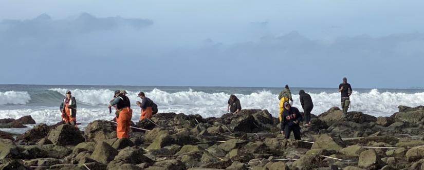
MPA baseline monitoring data
Data collected for MPA Monitoring Program baseline monitoring is available on the OPC Open Data Portal.
Marine spatial data
The California Department of Fish and Wildlife offers an interactive map for referencing relevant marine resource planning data: MarineBIOS. This tool, which is built on the latest version of BIOS, is a great place for looking up the boundaries and regulations of marine protected areas or investigating the attributes of benthic and intertidal habitat information.
Ocean observing system data
The Integrated Ocean Observing Systems (IOOS) provides a variety of ocean data of relevance to MPA monitoring. Southern California OOS (SCOOS) and (CenCOOS) are collaborating on a long-term monitoring project to incorporate satellite data and other ocean observing systems to develop regularly updating data products, allowing them to quantify relationships between large-scale oceanographic phenomena and conditions inside MPAs.
Reports
Baseline Monitoring reports
- State of the California Central Coast: Results from Baseline Monitoring of Marine Protected Areas 2007–2012 (PDF)
- State of the California North Central Coast: Results from Baseline Monitoring of Marine Protected Areas 2010-2015 (PDF)
- State of the California South Coast: Results from Baseline Monitoring of Marine Protected Areas 2011-2017 (PDF)
- State of the California North Coast: Results from Baseline Monitoring of Marine Protected Areas 2013-2017 (PDF)
Management plans and action plans: Visit the California Department of Fish and Wildlife website.
- California Seafood Profiles
- Aquaculture in California
- Discover California Commercial Fisheries
- Seaweed Aquaculture
- Kelp
- Coastal Hazards & Resilience
-
Marine Protected Areas
- Outreach Resources
- Reports and Data
- Research & Monitoring
- Red Tides in California
- King Tides
- Rip current safety
- FAQ: California’s Marine Heatwaves
- FAQ: Droughts & California’s Coastal Regions
- Estuaries: Connecting Land to Ocean
- Street Trash Monitoring Protocols and Educational Curriculum
- Safely Viewing Marine Mammals
- Grunion: bridging land and sea
- Delta Smelt
- Recursos en Español