Breadcrumb
- Our Work
- Estuaries: Connecting Land to Ocean
Estuaries: Connecting Land to Ocean

A deep dive into coastal wetlands
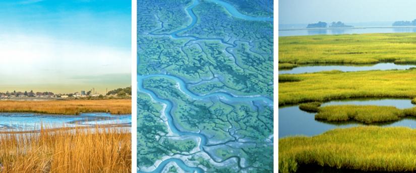
Estuaries, one primary example of a coastal wetland, are transition zones between the land and sea where saltwater from the ocean mixes with freshwater from upland rivers, streams, hillsides and canyon runoff. Estuaries can be either permanently or intermittently connected to the ocean, and constitute a mix of fresh and saltwater – also known as brackish water.
This Story Map provides a broad overview and explanations of estuaries and their importance in California, as well as how they're affected by climate change, sea-level rise, and other threats, and what solution are available. Developed by 2019 California Sea Grant Science Communication Fellow Tayler Tharaldson, this interactive guide to our wetlands explores the importance of estuaries, threats and governance, and how climate changes and other human impacts are affecting these ecosystems.
Reviewed by California Sea Grant Extension Specialist Joe Tyburczy and Program Coordinator Nick Sadrpour.
Contents
- What is an estuary?
- What are the different kinds of estuaries?
- Why are estuaries important?
- Case Study: The Humboldt Bay Estuary
- What are the threats to estuaries?
- How can we protect and restore estuaries?
- Who governs wetlands?
Explore the resource below or view the Story Map on the ArcGIS Website.
- California Seafood Profiles
- Aquaculture in California
- Discover California Commercial Fisheries
- Seaweed Aquaculture
- Kelp
- Coastal Hazards & Resilience
- Marine Protected Areas
- Red Tides in California
- King Tides
- Rip current safety
- FAQ: California’s Marine Heatwaves
- FAQ: Droughts & California’s Coastal Regions
- Estuaries: Connecting Land to Ocean
- Street Trash Monitoring Protocols and Educational Curriculum
- Safely Viewing Marine Mammals
- Grunion: bridging land and sea
- Delta Smelt
- Recursos en Español