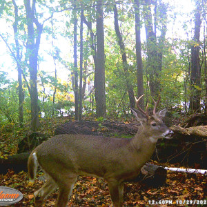
To estimate population sizes of mammal species on South Bass and Middle Bass Islands using game cameras istalled by residents and businesses of the islands.
Naturalist/Stewardship, Species Monitoring/Conservation/Phenology
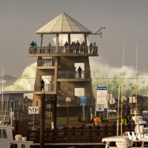
The Washington King Tides program invites people to visit the shoreline during a king tide or high water event, take pictures of important waterfront locations and help researchers understand how sea-level rise and storm surges our communities.
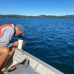
Master Watershed Stewards seeks to educate communities on area pollution sources in an effort to understand pressing water quality problems, their impacts and potential solutions to limit runoff.
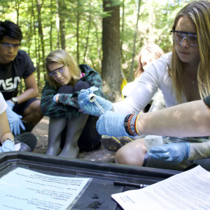
As part of a research project funded by Wisconsin Sea Grant, we worked with Esri to develop the Wisconsin Geotools. They are paired mobile- and web-based applications that allow citizens to create and map natural and cultural observations of meaningful places in their community.