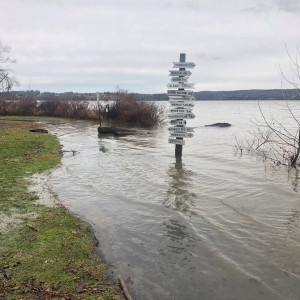
MyCoast NY is a tool used to collect and analyze photos of changing shorelines, inland and coastal flooding, and hazardous weather impacts across New York State.
MyCoast: Rhode Island is a portal to collect and analyze photos of shorelines across the Ocean State. Information collected by the public is used to capture the impact of flood hazards today, and to illustrate possible future conditions.
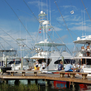
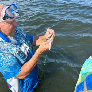
Coast Snap: Through use of personal smartphones, the public can take photos of the coast and data will be used to understand shoreline erosion and recovery cycles, and any long-term changes, helping us understand why some beaches are more dynamic or resilient than others.
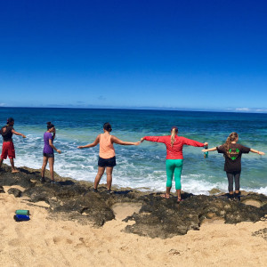
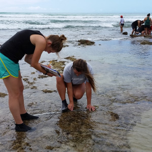
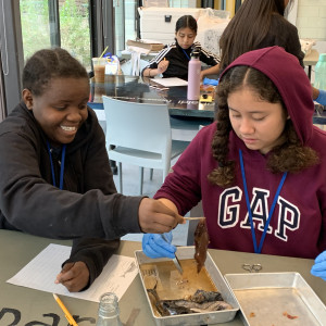
OPIHI program undergraduate interns partner with collaborating scientists to collect meaningful data used to characterize the Hawaiian intertidal to determine if and how intertidal organisms’ abundance and diversity is changing over time.
Species Monitoring/Conservation/Phenology, Naturalist/Stewardship
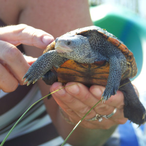
Diamondback terrapins are a flagship species for coastal salt marshes. In the attempt to assess health of estuaries, Florida Sea Grant seeks volunteers to help monitor selected beaches across the Florida panhandle for the presence of these animals.
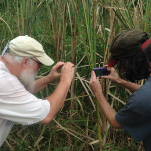
The Pennsylvania Amphibian and Reptile Survey (PARS) is an important state-sponsored atlas project launched in 2013. PARS will determine the distribution and status of all amphibians and reptiles throughout Pennsylvania, building upon previous atlas efforts and combining modern technology with an army of citizen scientists
Coordinates and trains volunteer river herring monitoring groups to provide discussions on river herring ecology, habitat requirements, fisheries management, state-wide population assessments, and historic value in Massachusetts.
Fisheries Management/Seafood, Species Monitoring/Conservation/Phenology
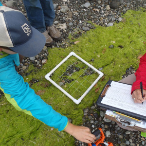
In collaboration with UNESCO, stakeholders are taught to survey and measure different aspects of their local beach geomorphology and water quality parameters.
A website to provide information to various citizen scientists and local groups on shoreline monitoring protocols, provide guidance on what type of monitoring might be relevant in different conditions, and provide info about relative skill level and cost requirements of various monitoring protocols.
Volunteers collect biweekly information on rockweed at one coastal location throughout the late spring and early summer. Signs of the Seasons is a program of Maine Sea Grant with whom the NH Sea Grant Coastal Research Volunteer program partners.
A New England Phenology Program has volunteers collect information on 22 indicator species, or Signs of the Seasons, to better understand the biological effects of climate change, and encourage citizens to become part of the solution.
To track the timing of bat migrations by detecting the calls of bat species from spring through fall seasons to see if climate change is affecting bat migration.
Climate/Weather, Naturalist/Stewardship, Species Monitoring/Conservation/Phenology
SoundToxins, a diverse partnership of Washington state shellfish and finfish growers, environmental learning centers, Native tribes, and Puget Sound volunteers, is a monitoring program designed to provide early warning of harmful algal bloom events in order to minimize both human health risks and economic losses to Puget Sound fisheries.
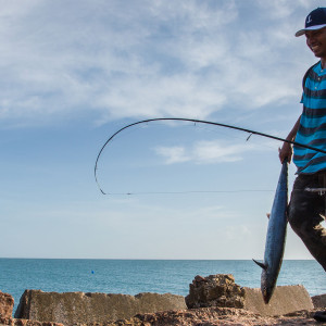
The South Atlantic Fishery Management Council, with assistance from extension staff from North Carolina, Georgia and Florida Sea Grant, has developed a comprehensive Citizen Science Program over the last several years. The mission is to build and maintain a program that improves information for fisheries management through collaborative science.
We train and support partner institutions who collect and analyze plankton samples and post results current results are used by California Dept. of Health for early detection of Harmful Algal Blooms.
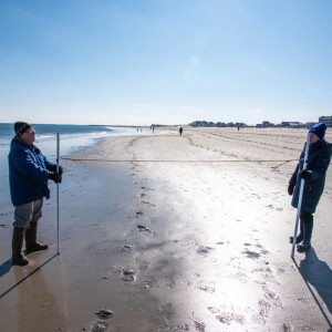
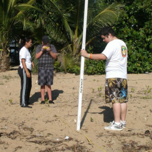
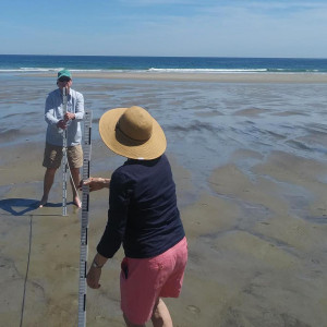
Teams of volunteers across Southern Maine collect coastal beach erosion data on a monthly basis, generating data used to guide beach management decisions.
Alaska Sea Grant funded researchers and partners created a system for residents to monitor local erosion, installed equipment and trained residents in five Bristol Bay communities. Researchers will expand the program to Utqiagvik with K-12 education and community outreach support by ASG.
Our project goal is to reduce the amount of trash in coastal waterways by improving our understanding of urban neighborhood trash sources through development of standardized protocols and implementation using an experiential education program.
The Amigos de Tres Palmas is a citizen group in charge of co-management of a marine reserve established in the town of Rincon. The trained volunteers for a Citizen Science Monitoring Project done within MPA boundaries to supplement the National Coral Reef Monitoring Program's dataset and provides a baseline for co-management strategies.
Naturalist/Stewardship, Species Monitoring/Conservation/Phenology
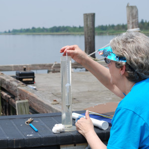
To collect verifiable water quality data to support public policy decisions and to increase public participation and support for the management and protection of the Delaware’s waterways.
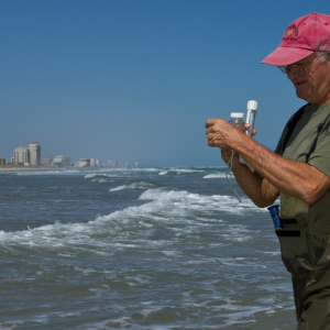
Urban Tides Initiative: we recruit, train and engage the public in helping to asses extreme high tides, especially in areas needing additional clarity for USGS modelers and city planners.