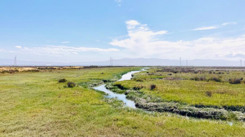
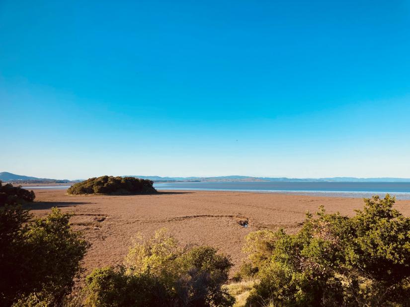
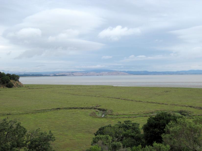
San Francisco Bay, a densely populated region of California that is expected to account for nearly two-thirds of flooding impacts in the state, is facing growing threats of rising sea levels and coastal flooding due to climate change. Rising water levels, loss of marsh habitat, and heightened wave action at the base of levees and seawalls in the region are expected to increase erosion and wave overtopping, potentially causing significant damage to these coastal communities.
In recent years, management efforts have shifted from traditional shoreline protections (seawalls, for example) to nature-based protections (or marsh restoration). Not only can these solutions be more cost-effective and often longer lasting, they can also play a role in reducing flooding and storm surge intensity by buffering incoming waves and surge before they reach developed land.
Coastal resilience is a priority for California, and this research project is one of 19 funded by California Sea Grant in 2020 that provide policy-relevant research that can be applied by resource managers and policymakers working on climate adaptation, and ensure a sustainable future for Californians.
This study set out to conduct a quantitative assessment of nature-based solutions specific to the California coastline by determining how marsh vegetation may be used as coastal protection on the West Coast and evaluating flood reduction provided by potential management solutions through the use of numerical modeling approaches. It also aimed to quantify regional ecosystem service benefits of flood reduction from marsh habitat.
“Marsh vegetation can play an important role in reducing the chance that levees will be over-topped by waves and storms”, says Rae Taylor-Burns, California Sea Grant graduate research fellow at UC Santa Cruz and principal investigator of the team.
The research team aimed to develop a model that depicts wave action and rising water levels along the San Francisco Bay coastline. This model will be used to assess how well tidal marshes and mudflats in San Francisco Bay reduce the impacts of flooding and to quantify the economic benefit of these existing habitats. It will also help identify future options for flood protection in the region by simulating potential marsh restorations.
“We have also been able to get insight from practitioners and planners in San Francisco Bay to understand where restoration for flood reduction might be feasible”, said Taylor-Burns. “I have really enjoyed these meetings because they have helped clarify for me that planners and flood managers are interested in findings from this project. This is very motivating!”
The team modeled and analyzed the influence of marshes on wave-driven flooding under extreme hydrodynamic conditions in a sheltered estuary and found that dense vegetation is effective in reducing waves and flooding and should be a high priority in nature-based flood defenses. It was clear that marshes with higher elevation relative to mean sea level would be the most effective in reducing waves and flooding. They are also developing a regional model to assess the socio-economic value of flood protection provided by existing and restored marsh habitat.
This work has helped the research team gain a better understanding on how marshes, levees, waves, and storms interact, which is an essential component to understanding how to implement nature-based shorelines in urban estuaries like the San Francisco Bay.
Next Steps and Implications
The two models developed will be paired to account for flow and wave-driven flood reduction provided by marshes, particularly focusing on a number of sea level rise and storm scenarios. The socio-economic and flood reduction value of existing and potential marsh habitat will also be assessed using National Structure Inventory data (NSI). As coastal California communities continue to seek effective and affordable solutions for coastal resilience, such models and data will be beneficial in suggesting guidelines for successful flood reduction solutions.
“Results from this study suggest that there may be a tipping point after which relative elevations of marshes have decreased such that marsh restoration is not an effective flood defense”, said Taylor-Burns. “At this point, flood managers interested in nature-based shorelines could instead focus efforts on approaches such as vegetated levees, which still provide wave and flood reduction benefits of vegetation fields.”
No matter the type of nature-based shoreline implemented, it is clear that these habitats can offer more long-term and cost-effective management in the future and can be used to strategize restoration efforts in the Bay.
This update was developed by Sarah (Farnsworth) Hayroyan, 2021 California Sea Grant State Fellow at the Delta Stewardship Council.
About California Sea Grant
NOAA’s California Sea Grant College Program funds marine research, education and outreach throughout California. Headquartered at Scripps Institution of Oceanography at the University of California San Diego, California Sea Grant is one of 34 Sea Grant programs in the National Oceanic and Atmospheric Administration (NOAA), U.S. Department of Commerce.