N/A


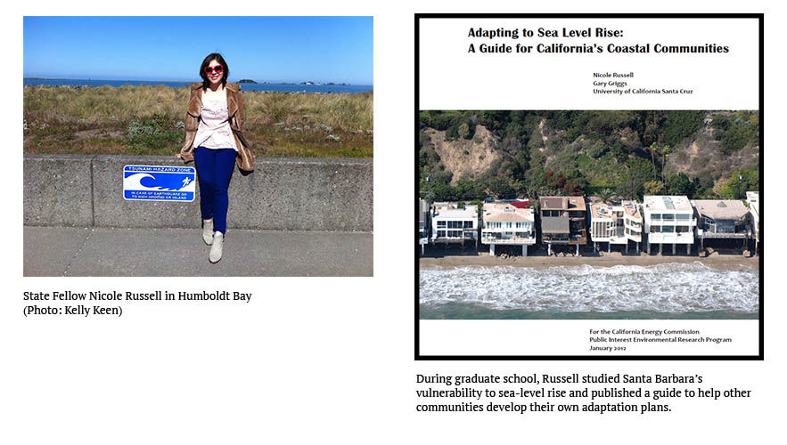
As a Ph.D. student, I studied the City of Santa Barbara’s vulnerability to sea-level rise (SLR). It was one of the first such case studies in California, so I published a guide for other communities to conduct vulnerability studies and develop SLR adaptation plans of their own.
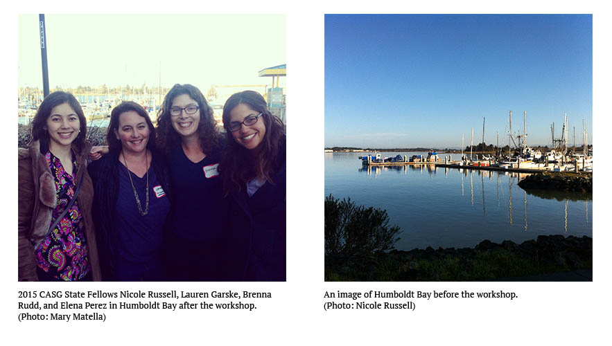
During my Fellowship with the State Lands Commission, I worked with other Fellows to hold a workshop for the communities of Humboldt Bay. The purpose was twofold: to determine how state agencies could work together to assist Humboldt Bay with its SLR planning and to inform best SLR adaptation practices.
It was particularly interesting to compare my experiences with Santa Barbara and Humboldt Bay. Firstly, the settings are quite dissimilar. While Santa Barbara is located along the Central Coast and has a mix of cliffs, bluffs, and beaches, Humboldt Bay is a natural bay and multi-basin bar-built coastal lagoon, located on the North Coast. Additionally, the Santa Barbara coastline is highly developed, whereas Humboldt Bay has many open habitat spaces. However, 35% of the developed coastline in Humboldt Bay is built on former tidelands, which are protected only by a fragile old dike system and railroad grade.
While SLR will intensify the impacts of flooding and erosion that cities like Santa Barbara have already experienced for decades, most of those communities still have time to plan for its most significant effects because relative SLR proceeds slowly in those locations. Unfortunately for Humboldt Bay, time is not an affordable luxury, as it is subject to the highest relative rate of SLR in the state, thanks to locally-active land subsidence.
When I worked with Santa Barbara, the city was updating its general plan and an environmental impact report (EIR) that included a climate change component. My advisor and I met with relevant city departments to explain the objectives of our study, ask for suggestions, and learn about the kinds of information that were desirable to the city. Follow-ups provided useful information about historical storm damage, flooding, and cliff erosion, but my advisor and I needed to gather additional data and determine the vulnerability of the city’s assets to SLR before we could plug into the EIR.
In some ways, Humboldt Bay is farther along than Santa Barbara is on its path to SLR resilience. Residents of the community have long been aware that SLR poses a threat and the State Coastal Conservancy has launched some local adaptation projects. It was exciting to see from the workshop that Humboldt Bay is eager to take charge of its SLR planning, but the group is still striving for cohesion and much hard work remains. I look forward to following Humboldt Bay’s progress and continuing to learn about how state agencies can support the efforts of local coastal communities.
Written by Nicole Russell, Ph.D.