N/A


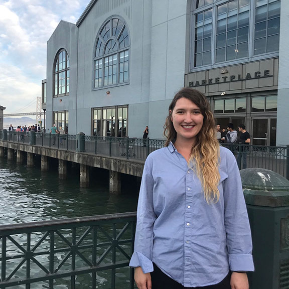
Moving up to San Francisco to start my California Sea Grant State Fellowship with the San Francisco Bay Conservation and Development Commission (BCDC) has been an eye-opening lesson in collaboration. For one, this region is huge. Nine counties, 48 cities, and 17 unincorporated communities line hundreds of miles of the bay’s shoreline, which is home to millions of people, controlled by a patchwork of public and private owners across local, state, and federal jurisdictions.
It is a place of immense economic growth, while at the same time, a concentration of some of California’s most serious issues regarding income inequality, housing affordability, transportation congestion, and environmental justice, to name a few. On top of it all, the region must also consider the growing impacts of climate change and rising sea levels of the bay.
A Regional Perspective
Within BCDC, I work with an amazing team of environmental scientists and planners on the Adapting to Tides (ART) program, a collaborative effort providing resources and guidance for local jurisdictions on sea-level rise adaptation planning. We are currently working on a regional-scale project called ART Bay Area, assessing sea-level rise impacts to urban growth areas, transportation networks, conservation lands, and vulnerable communities disproportionately impacted around the bay.
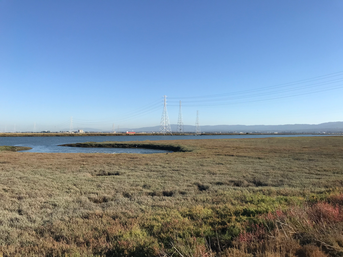
In the last century, the waters of the San Francisco Bay have risen 8-inches and are projected to rise another 12 to 32 inches by mid-century. Flooding isn’t new to this region, but a higher bay means flooding impacts are getting worse. As part of our project, we’ve been thinking about the big picture: how are assets across the bay interconnected? How do we tell a regional story about our shared vulnerabilities from flooding to galvanize a cohesive and coordinated approach to adaptation?
People and Partnerships
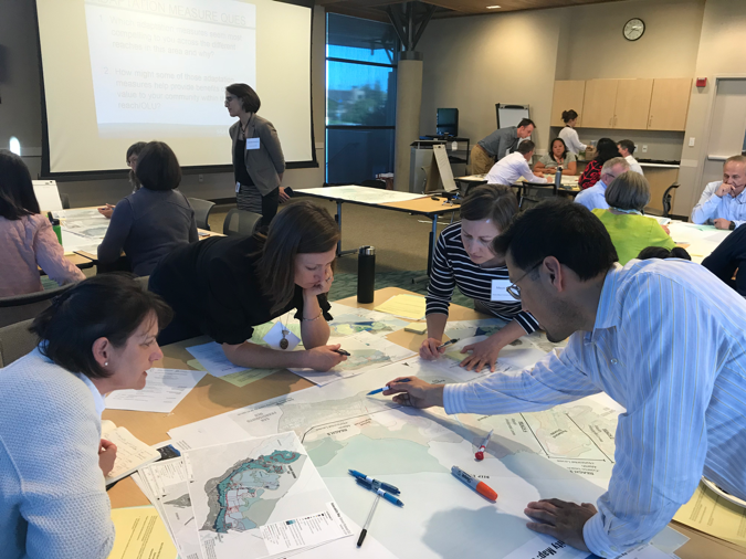
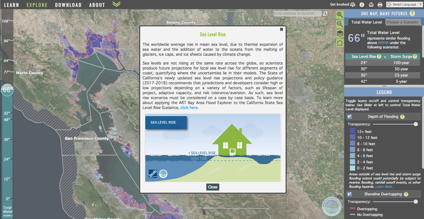 The good news is that our project has collaboration built into its core. We work closely with the Metropolitan Transportation Commission and California Department of Transportation to coordinate our efforts and enrich each other’s work. We’ve partnered with the San Francisco Estuary Institute to create the ART Bay Shoreline Flood Explorer to visualize and communicate flood risks in the bay, and we rely on a regional working group of stakeholders with a range of expertise to guide our regional project.
It has become clear that planning for sea-level rise is forcing us to re-consider how we approach and solve many of the other problems around the bay – from housing and transportation, to social equity and economic development. In the short time I’ve been here I’ve begun to see how linked our lives are and the answer, at least to me, is clear: we must continue working together through people and partnerships, across sectors and issues, to find collective solutions for a more resilient Bay Area.
Written by Jaclyn Mandoske